Fully offline
Maps, GPS position, marking and reports all run on the phone. Crews work for days without signal and lose nothing.
Victech product · Android field app
Forestry and survey crews already carry georeferenced PDF maps — VicMap makes them live. Import the PDF, see your GPS position on the printed grid, mark task blocks as the work happens, and export a branded PDF report before leaving the site. Every part of it works with zero signal.
Built with a working forestry operation in Sarawak — each feature exists because a crew on the ground asked for it.
Maps, GPS position, marking and reports all run on the phone. Crews work for days without signal and lose nothing.
Opens the GeoPDFs your office already produces — datum-aware, including the Timbalai shift used on Borneo survey sheets.
Tap a task block, flag it a colour, note it, mark it done. Checkpoints snapshot the day's progress into folders.
One tap generates a report with the client's logo — every marked task, plus the project map with marks burned in.
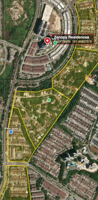
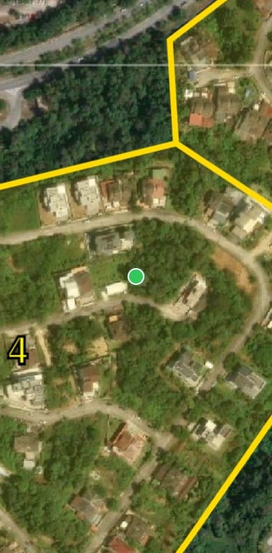
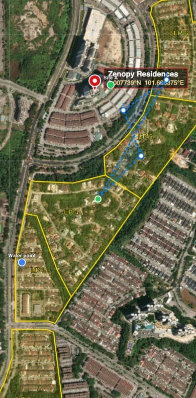
Real screenshots from the app — a georeferenced map, live position, and measuring on the ground.
The full product site has the complete feature walkthrough, licensing details and a direct line to us — or message us on Telegram and we'll set you up the same day.